
Trust

Creative Ideas

Super Safety

24/7 Support
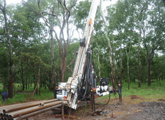
Diamond Core Drilling
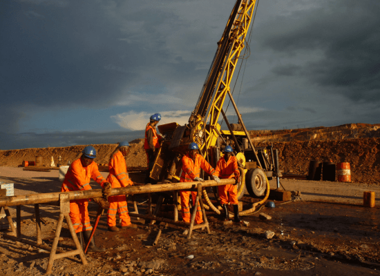
Borewell Drilling
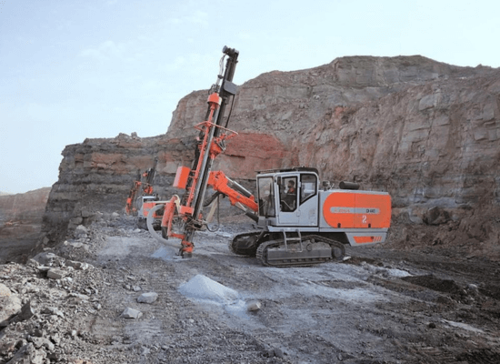
Blast Hole Drilling
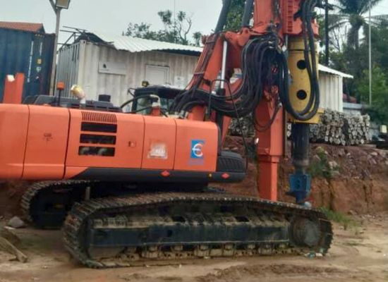
Piling Drilling
Aquifer Test
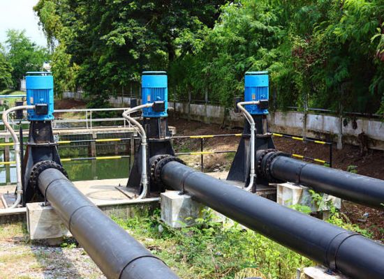
Water Distribution System